The first set of bunkers we investigated at Salt Creek Recreation Area are well known to the public. Salt Creek is also a beautiful park and camping spot. This area was named Camp Hayden and was the main base of operations for coastal defense along the Juan de Fuca in WW2. In the main parking area of Salt Creek is Battery 131, a large structure you can drive through but the rooms are closed off.
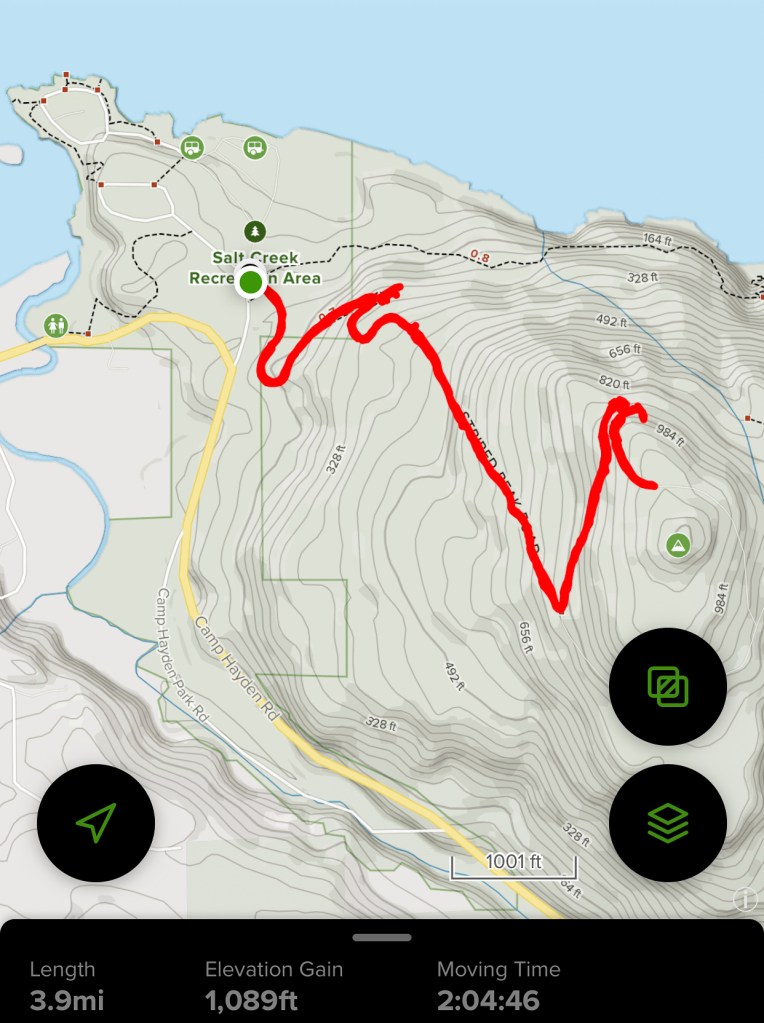
Our walking path up Striped Peak 2020 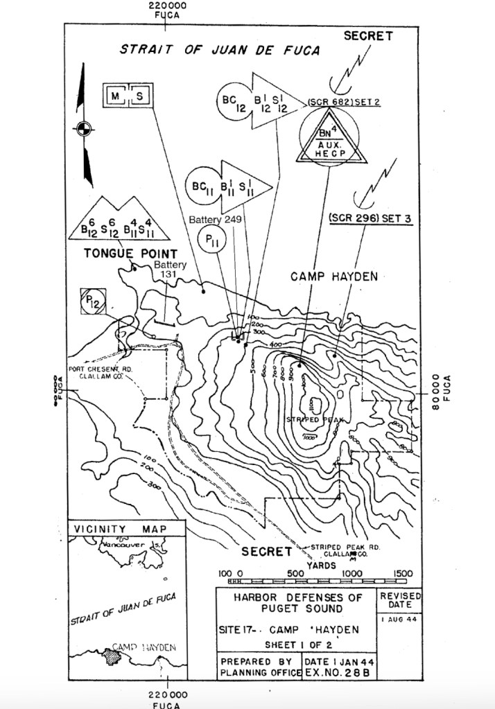
WW2 map of structures at Striped Peak 1944
On Striped Peak, just west of the recreation area, we walked up a dirt road to find hidden bunkers. About 10 minutes into our walk we found Battery 249 hidden in the woods. It was so overgrown with plants that we almost missed it. The entrances were barred off from public access so there wasn’t much to see.
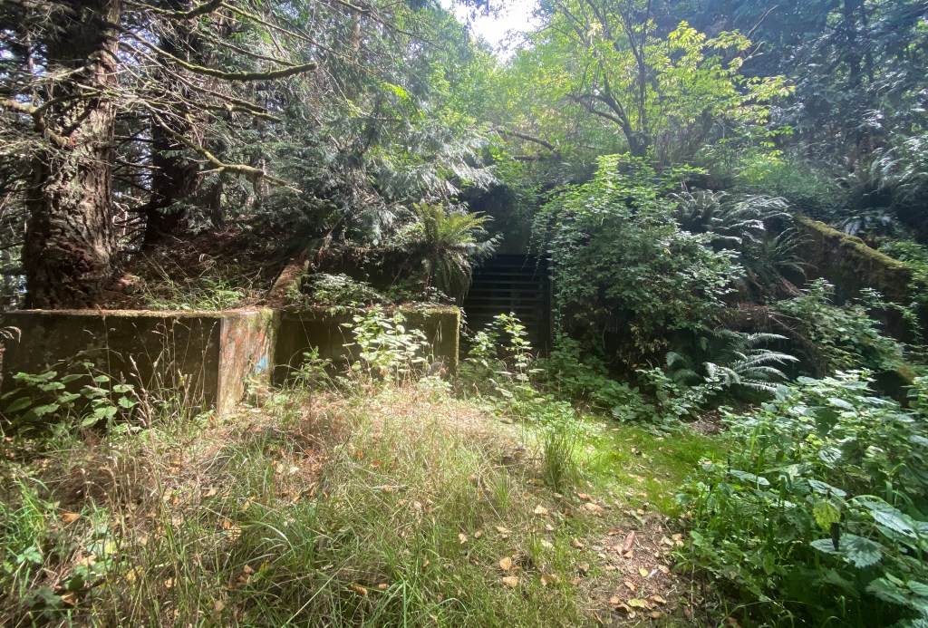
Battery 249 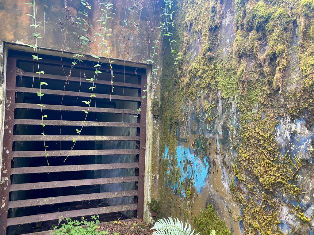
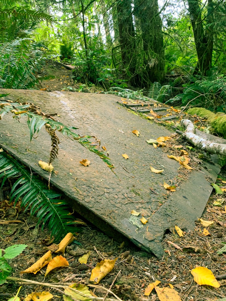

Battery 249
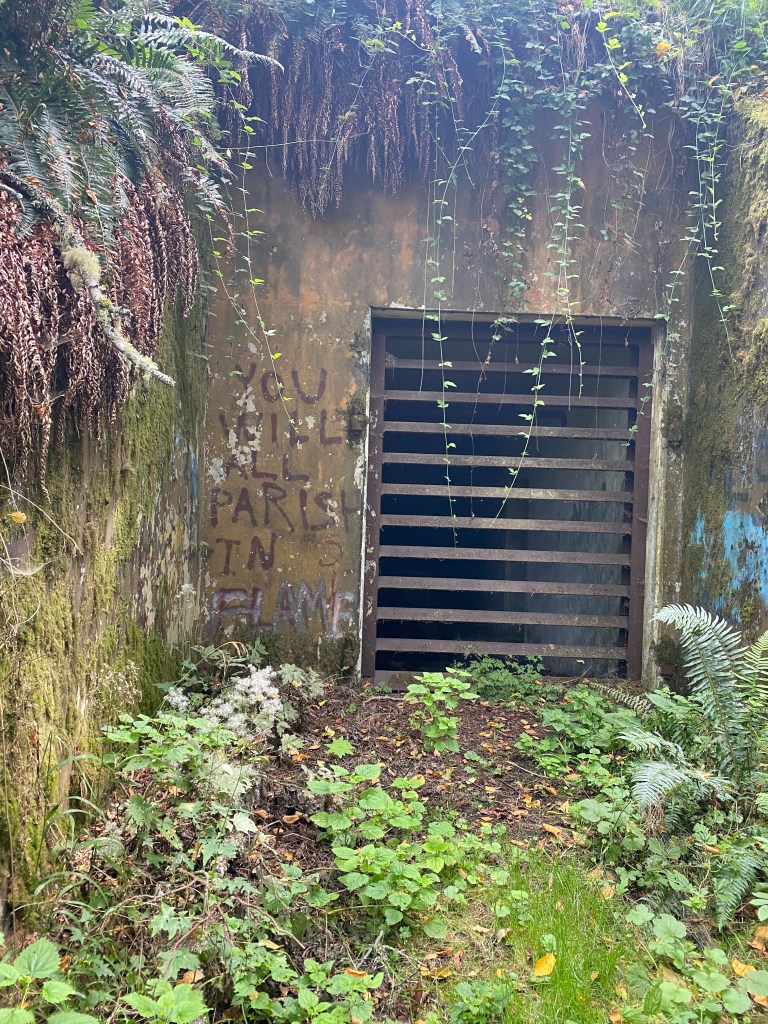
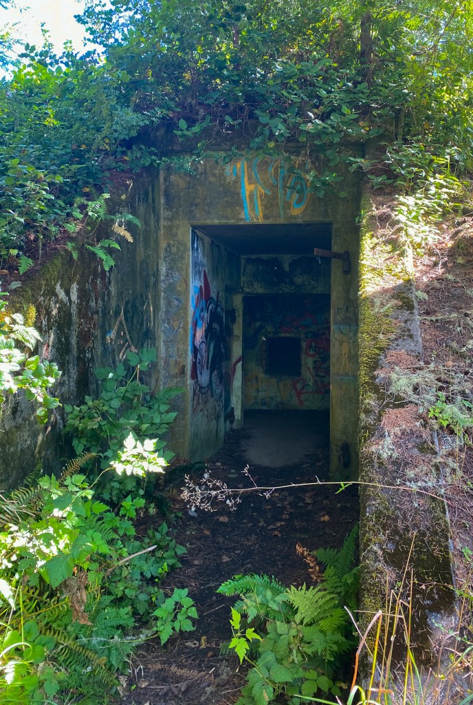
Continuing up Striped Peak, we found a small bunker that we could enter. It was dark but we came prepared with flashlights. One of the rooms had a slit window where it probably looked out at the Juan de Fuca before the woods grew around it.
Structure BC12 on the WW2 map 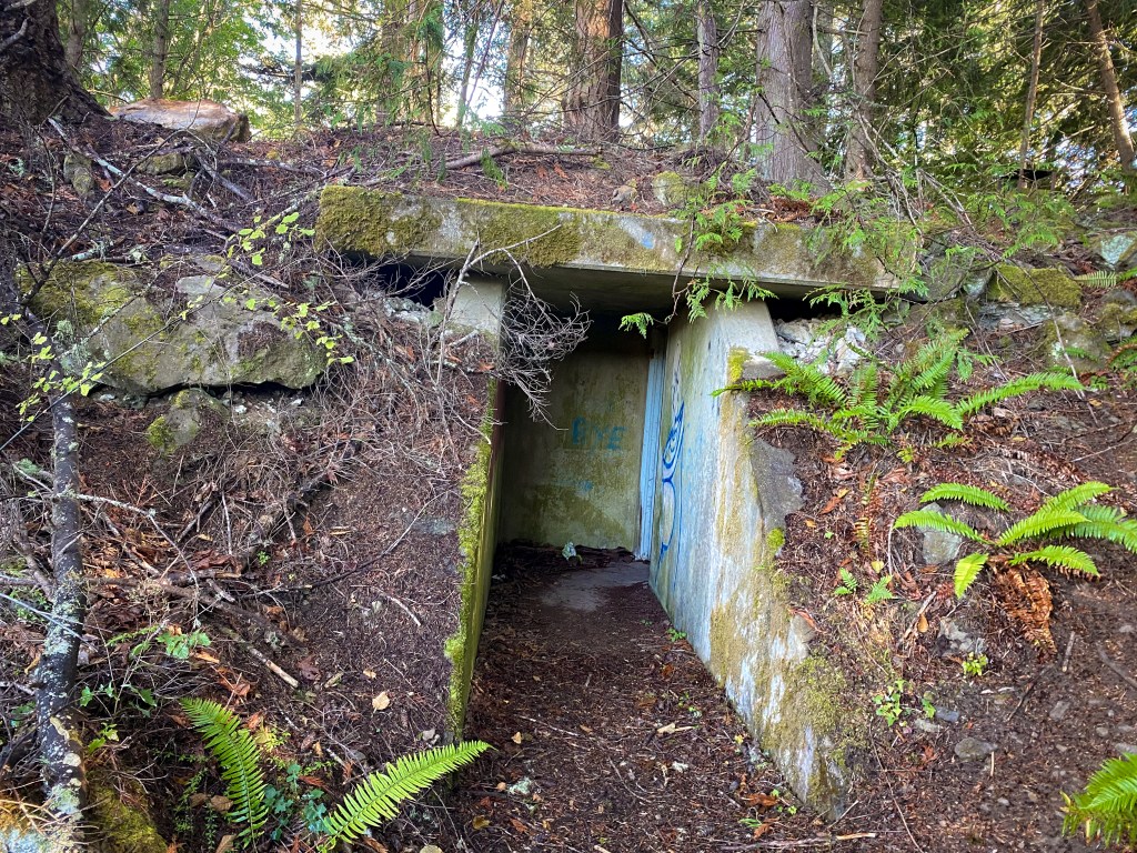
BC12
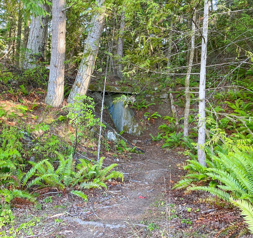
The rest of the walk up Striped Peak was exhausting but the view was beautiful, and the bunker on the very top was worth the walk.

At the very top of Striped Peak we came to the largest and creepiest bunker so far (BN4 on the 1944 map). A maze of concrete hallways covered in graffiti, it was eerily silent except for our footsteps and significantly cooler than the hot August heat we had just been walking in. A bat flying over my head startled me, but I’m sure my flashlight startled the poor creature more! Later in the day we had lunch in Sekiu, a small fishing town a ways down highway 101, and our very nice waitress said she used to come to this bunker in her teenage days to party! She did not know of any other bunkers in the area besides the Camp Hayden ones.
Structure BN4 entrance 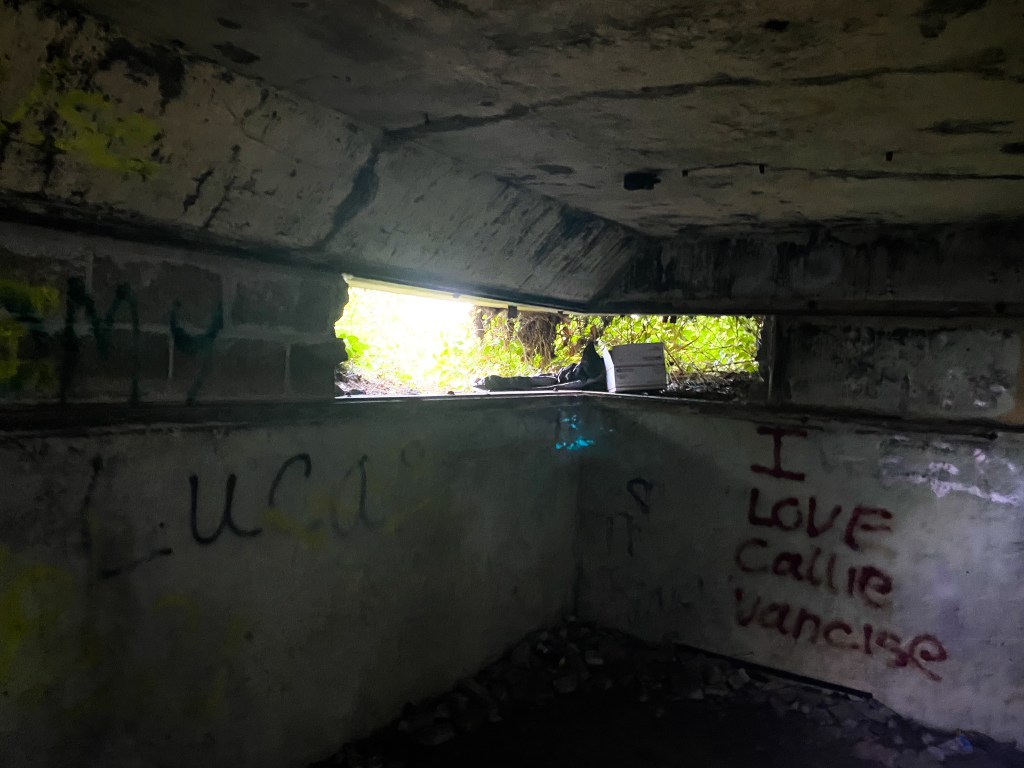
Slit window inside BN4 
Watch your step! 
Ladder to an escape hatch 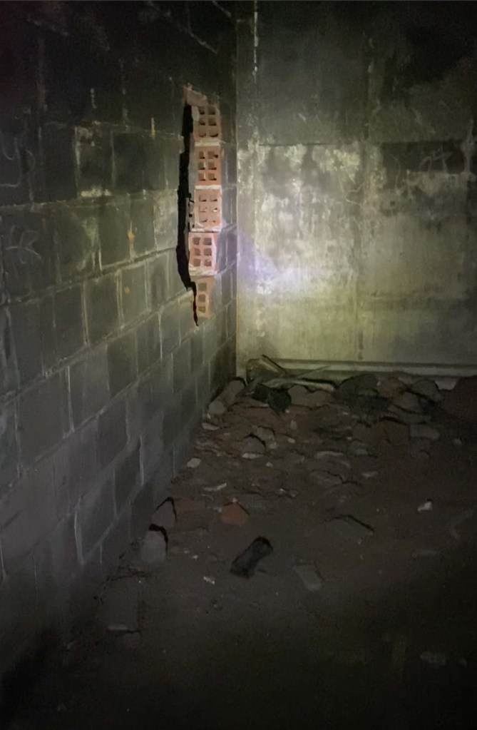

On the WW2 map this is structure BN4, a Harbor Entrance Control Post. According to the website Fort Wiki, BN4 worked in conjunction with Fort Worden in Port Townsend to manage ship traffic entering the Puget Sound. BN4 had a slit window room that overlooked the Juan de Fuca and it probably used radar towers to collect data too.
The only structure we could not locate on Striped Peak was SCR-296 (Surface Craft Detection Radar Set). This radar was used in 1941-1946 to provide surface craft data to the gun batteries at Battery 131.
We walked all around the woods in the general area of the 1944 map, and I used my AllTrails phone app to track our elevation, but we were tired from walking up Striped Peak and had to leave without finding the radar buildings.
According to Fort Wiki’s website additional Fire Control Structures are located along the Juan de Fuca to support Battery 131 and Battery 249 at Camp Hayden. Our next task is locating these support bunkers along the coast.
More reading:
http://www.fortwiki.com/Camp_Hayden Information about Camp Hayden
http://www.fortwiki.com/Category:Harbor_Defense_of_Puget_Sound
https://60tripskayakpugetsound.blogspot.com/2017/05/searching-for-harbor-defense-bunkers.html This blog links the WW2 maps we used


Leave a comment